 vesseltracker.com
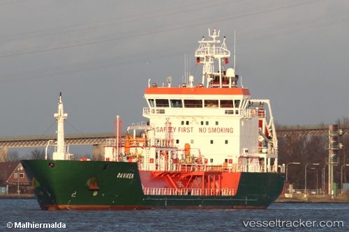
 B Gas Mariner
Current Status
Where is the vessel?
B Gas Mariner is currently in 13 nm NE of Neuendorf-Hiddensee, based on AIS data received less than 1h ago.
Latest AIS update:
Current position: 55.02372° N, 13.85623° E (13 nm NE of Neuendorf-Hiddensee)
Average speed (last 7 days): Loading…
Average speed (last 30 days): Loading…
Vessel profile: B Gas Mariner is a Lpg Tanker with dimensions 88m x 15m.
This page combines live AIS, route history, probable destination signals, nearby traffic, and port activity for practical vessel monitoring.
The current position of vessel B Gas Mariner is 55.02372 lat / 13.85623 lng. Updated: 2026-04-21 11:03:59 UTCNearest reference points:
- Near SASSNITZ
- Near Breege
- Near Glowe
Currently sailing under the flag of Malta ![]()
B Gas Mariner built in 2007 year
Deadweight:
3811 tDetails:
Live Vessel B Gas Mariner Analytics (details, animations, etc.)
Recent AIS points (UTC):
2026-04-21 07:55:11 UTC · 54.94126, 14.06771 · SOG 11.3 kn · COG 294°2026-04-21 07:55:11 UTC · 54.94126, 14.06771 · SOG 11.3 kn · COG 294°
2026-04-21 09:35:58 UTC · 54.97662, 13.95568 · SOG 11 kn · COG 311°
2026-04-21 11:03:59 UTC · 55.02372, 13.85623 · SOG 11.3 kn · COG 309°