 vesseltracker.com
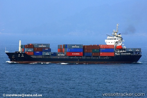
 Sinar Papua
Current Status
Where is the vessel?
Sinar Papua is currently in 11 nm N of Taboneo, based on AIS data received about 2h ago.
Latest AIS update:
Current position: 3.52084° S, 114.49247° E (11 nm N of Taboneo)
Average speed (last 7 days): Loading…
Average speed (last 30 days): Loading…
Vessel profile: Sinar Papua is a Multi Purpose Carrier with dimensions 110m x 30m.
This page combines live AIS, route history, probable destination signals, nearby traffic, and port activity for practical vessel monitoring.
The current position of vessel Sinar Papua is -3.52084 lat / 114.49247 lng. Updated: 2026-03-29 03:34:39 UTCNearest reference points:
- Near Taboneo
- Near BANJARMASIN
- Near Bunati
Currently sailing under the flag of Indonesia ![]()
Sinar Papua built in 2005 year
Deadweight:
7624 tDetails:
Live Vessel Sinar Papua Analytics (details, animations, etc.)
Recent AIS points (UTC):
2026-03-28 21:38:20 UTC · -3.36957, 114.51411 · SOG 0 kn · COG 339°2026-03-28 23:47:21 UTC · -3.36959, 114.51413 · SOG 0 kn · COG 338°
2026-03-29 00:32:21 UTC · -3.36939, 114.51399 · SOG 0 kn · COG 353°
2026-03-29 03:34:39 UTC · -3.52084, 114.49247 · SOG 6.8 kn · COG 153°