 vesseltracker.com
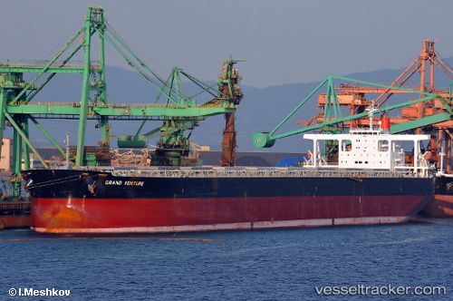
 SUNNY MAMOU
Current Status
Where is the vessel?
SUNNY MAMOU is currently in 22 nm E of HOPING, based on AIS data received about 1d ago.
Latest AIS update:
Current position: 24.24144° N, 122.16271° E (22 nm E of HOPING)
Average speed (last 7 days): Loading…
Average speed (last 30 days): Loading…
Vessel profile: SUNNY MAMOU is a Bulk Carrier with dimensions m x m.
This page combines live AIS, route history, probable destination signals, nearby traffic, and port activity for practical vessel monitoring.
The current position of vessel SUNNY MAMOU is 24.24144 lat / 122.16271 lng. Updated: 2026-04-10 08:29:01 UTCNearest reference points:
- 26 nm E of Hua-Lien Kang
- Near SUAO
- Near Au-Ao Chaing
Currently sailing under the flag of Panama ![]()
Details:
Live Vessel SUNNY MAMOU Analytics (details, animations, etc.)
Recent AIS points (UTC):
2026-04-10 01:48:50 UTC · 22.93387, 121.75343 · SOG 11.7 kn · COG 16°2026-04-10 03:56:11 UTC · 23.34237, 121.87400 · SOG 12.4 kn · COG 24°
2026-04-10 05:42:30 UTC · 23.68579, 121.98614 · SOG 12 kn · COG 15°
2026-04-10 08:29:01 UTC · 24.24144, 122.16271 · SOG 12.8 kn · COG 13°