 vesseltracker.com
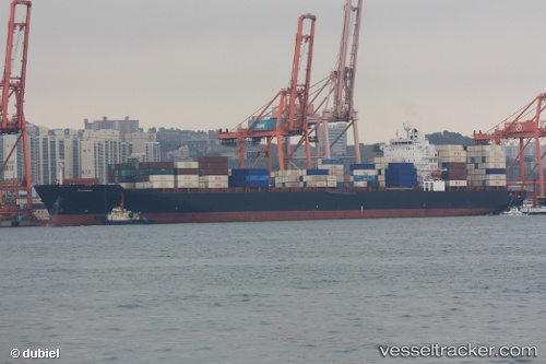
Behnavaz
Current StatusWhere is the vessel?
Behnavaz is currently in 160 nm SW of Positra, based on AIS data received less than 1h ago.
Latest AIS update:
Current position: 20.17343° N, 67.58117° E (160 nm SW of Positra)
Average speed (last 7 days): Loading…
Average speed (last 30 days): Loading…
Vessel profile: Behnavaz is a Container Ship with dimensions 32m x 294m.
This page combines live AIS, route history, probable destination signals, nearby traffic, and port activity for practical vessel monitoring.
The current position of vessel Behnavaz is 20.17343 lat / 67.58117 lng. Updated: 2026-04-01 13:32:58 UTCNearest reference points:
- 54 nm S of Positra
- 49 nm S of Positra
- Near Khambhaliya
Details:
Live Vessel Behnavaz Analytics (details, animations, etc.)
Recent AIS points (UTC):
2026-04-01 08:02:56 UTC · 21.46700, 66.48317 · SOG 17.5 kn · COG 146°2026-04-01 09:27:56 UTC · 21.13796, 66.76394 · SOG 18.1 kn · COG 142°
2026-04-01 12:02:56 UTC · 20.52681, 67.28271 · SOG 18 kn · COG 139°
2026-04-01 13:32:58 UTC · 20.17343, 67.58117 · SOG 18.1 kn · COG -1°