 vesseltracker.com
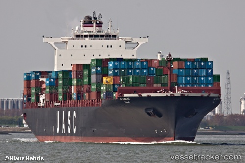
 AL SAFAT
Current Status
Where is the vessel?
AL SAFAT is currently in 16 nm W of Thorntonbank, based on AIS data received less than 1h ago.
Latest AIS update:
Current position: 51.69644° N, 2.49658° E (16 nm W of Thorntonbank)
Average speed (last 7 days): Loading…
Average speed (last 30 days): Loading…
Vessel profile: AL SAFAT is a Container Ship with dimensions m x m.
This page combines live AIS, route history, probable destination signals, nearby traffic, and port activity for practical vessel monitoring.
The current position of vessel AL SAFAT is 51.69644 lat / 2.49658 lng. Updated: 2026-04-21 01:40:15 UTCNearest reference points:
- 13 nm NW of Middelkerke
- 21 nm S of Craven Arms
- Near Thorntonbank
Currently sailing under the flag of Liberia ![]()
Details:
Live Vessel AL SAFAT Analytics (details, animations, etc.)
Recent AIS points (UTC):
2026-04-20 22:03:58 UTC · 51.21315, 1.81012 · SOG 11.6 kn · COG 42°2026-04-21 00:17:04 UTC · 51.50443, 2.25607 · SOG 12 kn · COG 37°
2026-04-21 01:40:15 UTC · 51.69644, 2.49658 · SOG 10.5 kn · COG 43°
2026-04-21 01:40:15 UTC · 51.69644, 2.49658 · SOG 10.5 kn · COG 43°