 vesseltracker.com
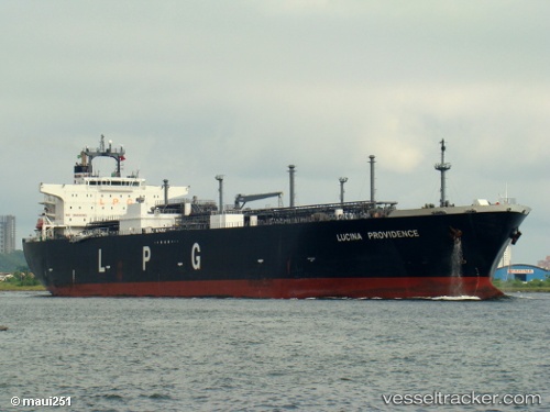
Lucina Providence
Current StatusWhere is the vessel?
Lucina Providence is currently in 216 nm SW of LHOKNGA, based on AIS data received about 1h ago.
Latest AIS update:
Current position: 3.77167° N, 92.04500° E (216 nm SW of LHOKNGA)
Average speed (last 7 days): Loading…
Average speed (last 30 days): Loading…
Vessel profile: Lucina Providence is a Lpg Tanker with dimensions 37m x 230m.
This page combines live AIS, route history, probable destination signals, nearby traffic, and port activity for practical vessel monitoring.
The current position of vessel Lucina Providence is 3.77167 lat / 92.04500 lng. Updated: 2026-04-16 19:30:26 UTCNearest reference points:
- 172 nm W of LHOKNGA
- 160 nm W of Sebang
- 243 nm E of Abakaliki
Details:
Live Vessel Lucina Providence Analytics (details, animations, etc.)
Recent AIS points (UTC):
2026-04-16 12:09:20 UTC · 5.08500, 93.39667 · SOG 15 kn · COG -1°2026-04-16 14:21:25 UTC · 4.67667, 92.98667 · SOG 15 kn · COG -1°
2026-04-16 15:54:19 UTC · 4.41333, 92.70500 · SOG 15 kn · COG -1°
2026-04-16 19:30:26 UTC · 3.77167, 92.04500 · SOG 14 kn · COG -1°