 vesseltracker.com
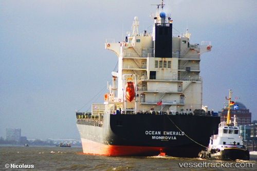
 MSC STRAIT II
Current Status
Where is the vessel?
MSC STRAIT II is currently in 21 nm SW of LA PALOMA, based on AIS data received about 1h ago.
Latest AIS update:
Current position: 34.94733° S, 54.35917° W (21 nm SW of LA PALOMA)
Average speed (last 7 days): Loading…
Average speed (last 30 days): Loading…
Vessel profile: MSC STRAIT II is a Container Ship with dimensions m x m.
This page combines live AIS, route history, probable destination signals, nearby traffic, and port activity for practical vessel monitoring.
The current position of vessel MSC STRAIT II is -34.94733 lat / -54.35917 lng. Updated: 2026-04-18 17:44:22 UTCNearest reference points:
- 21 nm E of PUNTA DEL ESTE
- 12 nm S of Piriápolis
- 75 nm SE of LA PALOMA
Currently sailing under the flag of Liberia ![]()
Details:
Live Vessel MSC STRAIT II Analytics (details, animations, etc.)
Recent AIS points (UTC):
2026-04-18 11:39:57 UTC · -34.67114, -53.72240 · SOG 8.6 kn · COG 231°2026-04-18 13:45:45 UTC · -34.80917, -54.02900 · SOG 4.7 kn · COG 240°
2026-04-18 16:18:23 UTC · -34.89366, -54.23996 · SOG 4.8 kn · COG 239°
2026-04-18 17:44:22 UTC · -34.94733, -54.35917 · SOG 4.7 kn · COG 238°