 vesseltracker.com
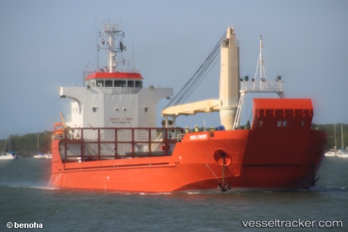
Hiri Chief
Current StatusWhere is the vessel?
Hiri Chief is currently in 29 nm NE of Samarai, based on AIS data received about 1h ago.
Latest AIS update:
Current position: 10.29635° S, 150.98344° E (29 nm NE of Samarai)
Average speed (last 7 days): Loading…
Average speed (last 30 days): Loading…
Vessel profile: Hiri Chief is a Landing Craft with dimensions 18m x 78m.
This page combines live AIS, route history, probable destination signals, nearby traffic, and port activity for practical vessel monitoring.
The current position of vessel Hiri Chief is -10.29635 lat / 150.98344 lng. Updated: 2026-04-19 23:49:15 UTCDetails:
Live Vessel Hiri Chief Analytics (details, animations, etc.)
Recent AIS points (UTC):
2026-04-19 19:25:33 UTC · -10.63259, 150.58434 · SOG 7.4 kn · COG 46°2026-04-19 21:43:36 UTC · -10.48939, 150.78880 · SOG 8.6 kn · COG 63°
2026-04-19 22:45:51 UTC · -10.41586, 150.92799 · SOG 9 kn · COG 63°
2026-04-19 23:49:15 UTC · -10.29635, 150.98344 · SOG 8.4 kn · COG 355°