 vesseltracker.com
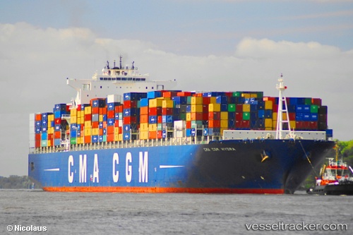
Cma Cgm Hydra
Current StatusWhere is the vessel?
Cma Cgm Hydra is currently in 39 nm SW of Gombong, based on AIS data received about 1h ago.
Latest AIS update:
Current position: 6.76583° N, 107.62731° E (39 nm SW of Gombong)
Average speed (last 7 days): Loading…
Average speed (last 30 days): Loading…
Vessel profile: Cma Cgm Hydra is a Container Ship with dimensions 46m x 347m.
This page combines live AIS, route history, probable destination signals, nearby traffic, and port activity for practical vessel monitoring.
The current position of vessel Cma Cgm Hydra is 6.76583 lat / 107.62731 lng. Updated: 2026-04-17 13:37:18 UTCNearest reference points:
- 11 nm N of Gombong
- 41 nm NW of Brebes
- 30 nm SW of Dai Hung (Tandem Load)
Details:
Live Vessel Cma Cgm Hydra Analytics (details, animations, etc.)
Recent AIS points (UTC):
2026-04-17 06:56:59 UTC · 7.22759, 107.87412 · SOG 1 kn · COG 115°2026-04-17 09:45:49 UTC · 7.27263, 107.89030 · SOG 1.1 kn · COG 187°
2026-04-17 12:00:29 UTC · 7.04021, 107.85841 · SOG 13.2 kn · COG 213°
2026-04-17 13:37:18 UTC · 6.76583, 107.62731 · SOG 13.4 kn · COG 236°