 vesseltracker.com
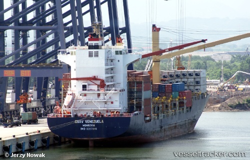
 MSC AGGELIKI II
Current Status
Where is the vessel?
MSC AGGELIKI II is currently in 108 nm NE of Hulhulé Island, based on AIS data received about 1h ago.
Latest AIS update:
Current position: 4.95153° N, 75.14772° E (108 nm NE of Hulhulé Island)
Average speed (last 7 days): Loading…
Average speed (last 30 days): Loading…
Vessel profile: MSC AGGELIKI II is a Container Ship with dimensions m x m.
This page combines live AIS, route history, probable destination signals, nearby traffic, and port activity for practical vessel monitoring.
The current position of vessel MSC AGGELIKI II is 4.95153 lat / 75.14772 lng. Updated: 2026-04-19 19:56:38 UTCNearest reference points:
- 91 nm S of Nagercoil
- Near Maamigili Port
- 98 nm S of Nagercoil
Currently sailing under the flag of Liberia ![]()
Details:
Live Vessel MSC AGGELIKI II Analytics (details, animations, etc.)
Recent AIS points (UTC):
2026-04-19 16:56:43 UTC · 4.64204, 74.45114 · SOG 15.1 kn · COG 67°2026-04-19 18:20:37 UTC · 4.78269, 74.77519 · SOG 15.1 kn · COG 65°
2026-04-19 19:52:20 UTC · 4.94379, 75.13089 · SOG 15.4 kn · COG 64°
2026-04-19 19:56:38 UTC · 4.95153, 75.14772 · SOG 15.5 kn · COG 64°