 vesseltracker.com
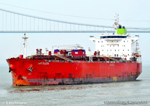
 GULF FANATIR
Current Status
Where is the vessel?
GULF FANATIR is currently in 85 nm SE of Benedito Novo, based on AIS data received less than 1h ago.
Latest AIS update:
Current position: 30.70376° S, 48.17474° W (85 nm SE of Benedito Novo)
Average speed (last 7 days): Loading…
Average speed (last 30 days): Loading…
Vessel profile: GULF FANATIR is a Oil/Chemical Tanker with dimensions m x m.
This page combines live AIS, route history, probable destination signals, nearby traffic, and port activity for practical vessel monitoring.
The current position of vessel GULF FANATIR is -30.70376 lat / -48.17474 lng. Updated: 2026-03-31 14:01:57 UTCNearest reference points:
- 15 nm SE of Imbituba
- 14 nm SE of Imbituba
- 138 nm E of Imbituba
Currently sailing under the flag of Panama ![]()
Details:
Live Vessel GULF FANATIR Analytics (details, animations, etc.)
Recent AIS points (UTC):
2026-03-31 07:51:13 UTC · -29.69853, -47.25915 · SOG 12.8 kn · COG 223°2026-03-31 10:04:40 UTC · -30.06820, -47.59410 · SOG 12.6 kn · COG 220°
2026-03-31 12:11:30 UTC · -30.41405, -47.90610 · SOG 12.4 kn · COG 220°
2026-03-31 14:01:57 UTC · -30.70376, -48.17474 · SOG 11.9 kn · COG 220°