 vesseltracker.com
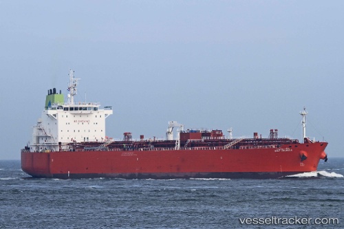
 GULF JALMUDA
Current Status
Where is the vessel?
GULF JALMUDA is currently in 68 nm W of Lakshadweep, based on AIS data received less than 1h ago.
Latest AIS update:
Current position: 10.18333° N, 71.63667° E (68 nm W of Lakshadweep)
Average speed (last 7 days): Loading…
Average speed (last 30 days): Loading…
Vessel profile: GULF JALMUDA is a Oil Products Tanker with dimensions m x m.
This page combines live AIS, route history, probable destination signals, nearby traffic, and port activity for practical vessel monitoring.
The current position of vessel GULF JALMUDA is 10.18333 lat / 71.63667 lng. Updated: 2026-04-02 13:12:49 UTCNearest reference points:
- 130 nm W of Lakshadweep
- 13 nm NW of Lakshadweep
- 45 nm SW of Kalpeni Island
Currently sailing under the flag of Panama ![]()
Details:
Live Vessel GULF JALMUDA Analytics (details, animations, etc.)
Recent AIS points (UTC):
2026-04-02 07:40:51 UTC · 9.44667, 72.46333 · SOG 12 kn · COG -1°2026-04-02 10:11:40 UTC · 9.76333, 72.05833 · SOG 12 kn · COG -1°
2026-04-02 12:00:17 UTC · 9.99333, 71.78167 · SOG 11 kn · COG -1°
2026-04-02 13:12:49 UTC · 10.18333, 71.63667 · SOG 11 kn · COG -1°