 vesseltracker.com
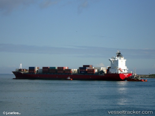
 MAERSK JIANGYIN
Current Status
Where is the vessel?
MAERSK JIANGYIN is currently in 23 nm SE of ZHOUSHAN, based on AIS data received about 2h ago.
Latest AIS update:
Current position: 29.73588° N, 122.55407° E (23 nm SE of ZHOUSHAN)
Average speed (last 7 days): Loading…
Average speed (last 30 days): Loading…
Vessel profile: MAERSK JIANGYIN is a Container Ship with dimensions 30m x 226m.
This page combines live AIS, route history, probable destination signals, nearby traffic, and port activity for practical vessel monitoring.
The current position of vessel MAERSK JIANGYIN is 29.73588 lat / 122.55407 lng. Updated: 2026-04-05 19:30:47 UTCNearest reference points:
- 20 nm SE of ZHOUSHAN
- 24 nm SE of ZHOUSHAN
- 25 nm SE of ZHOUSHAN
Currently sailing under the flag of Singapore ![]()
MAERSK JIANGYIN built in 2007 year
Deadweight:
37866 tDetails:
Live Vessel MAERSK JIANGYIN Analytics (details, animations, etc.)
Recent AIS points (UTC):
2026-04-05 14:15:20 UTC · 29.76233, 123.40576 · SOG 13 kn · COG 250°2026-04-05 15:58:11 UTC · 29.70035, 123.00666 · SOG 12 kn · COG 274°
2026-04-05 17:18:36 UTC · 29.69188, 122.70258 · SOG 6.5 kn · COG 265°
2026-04-05 19:30:47 UTC · 29.73588, 122.55407 · SOG 0.1 kn · COG 265°