 vesseltracker.com
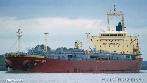
 INDUS 1
Current Status
Where is the vessel?
INDUS 1 is currently in 12 nm NW of SILE, based on AIS data received about 1d ago.
Latest AIS update:
Current position: 41.32313° N, 29.41537° E (12 nm NW of SILE)
Average speed (last 7 days): Loading…
Average speed (last 30 days): Loading…
Vessel profile: INDUS 1 is a Oil/Chemical Tanker with dimensions m x m.
This page combines live AIS, route history, probable destination signals, nearby traffic, and port activity for practical vessel monitoring.
The current position of vessel INDUS 1 is 41.32313 lat / 29.41537 lng. Updated: 2026-04-02 19:59:02 UTCNearest reference points:
- 19 nm NE of RUMELI FENERI
- Near RUMELI FENERI
- Near Kavacik
Currently sailing under the flag of Equatorial Guinea ![]()
Details:
Live Vessel INDUS 1 Analytics (details, animations, etc.)
Recent AIS points (UTC):
2026-04-02 19:21:53 UTC · 41.27621, 29.27286 · SOG 11.7 kn · COG 48°2026-04-02 19:59:02 UTC · 41.32313, 29.41537 · SOG 11.4 kn · COG 68°
2026-04-02 19:59:02 UTC · 41.32313, 29.41537 · SOG 11.4 kn · COG 68°
2026-04-02 19:59:02 UTC · 41.32313, 29.41537 · SOG 11.4 kn · COG 68°