 vesseltracker.com
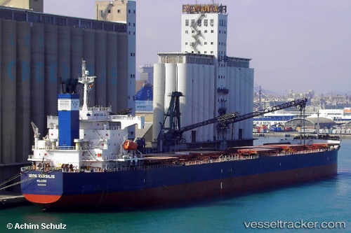
Star Moira
Current StatusWhere is the vessel?
Star Moira is currently in Near Chah Bahar, based on AIS data received less than 1h ago.
Latest AIS update:
Current position: 25.18167° N, 60.55167° E (Near Chah Bahar)
Average speed (last 7 days): Loading…
Average speed (last 30 days): Loading…
Vessel profile: Star Moira is a Bulk Carrier with dimensions 32m x 229m.
This page combines live AIS, route history, probable destination signals, nearby traffic, and port activity for practical vessel monitoring.
The current position of vessel Star Moira is 25.18167 lat / 60.55167 lng. Updated: 2026-03-29 21:19:41 UTCNearest reference points:
- 59 nm S of Chah Bahar
- 97 nm S of Chabahar
- 101 nm SE of Chabahar
Details:
Live Vessel Star Moira Analytics (details, animations, etc.)
Recent AIS points (UTC):
2026-03-29 15:46:37 UTC · 25.18333, 60.55167 · SOG 0 kn · COG -1°2026-03-29 17:43:36 UTC · 25.18333, 60.55167 · SOG 0 kn · COG -1°
2026-03-29 20:19:35 UTC · 25.18333, 60.55167 · SOG 0 kn · COG -1°
2026-03-29 21:19:41 UTC · 25.18167, 60.55167 · SOG 0 kn · COG -1°