 vesseltracker.com
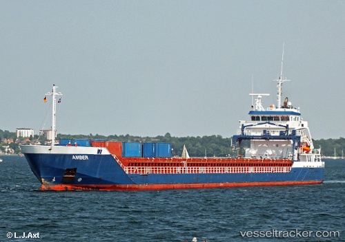
 Amisia
Current Status
Where is the vessel?
Amisia is currently in 18 nm W of Leixoes, based on AIS data received about 1h ago.
Latest AIS update:
Current position: 41.12912° N, 9.09952° W (18 nm W of Leixoes)
Average speed (last 7 days): Loading…
Average speed (last 30 days): Loading…
Vessel profile: Amisia is a Multi Purpose Carrier with dimensions 111m x 14m.
This page combines live AIS, route history, probable destination signals, nearby traffic, and port activity for practical vessel monitoring.
The current position of vessel Amisia is 41.12912 lat / -9.09952 lng. Updated: 2026-04-20 01:49:37 UTCNearest reference points:
- Near Matosinhos
- Near POVOA DE VARZIM
- Near Gafanha da Nazaré
Currently sailing under the flag of Cyprus ![]()
Amisia built in 2008 year
Deadweight:
6059 tDetails:
Live Vessel Amisia Analytics (details, animations, etc.)
Recent AIS points (UTC):
2026-04-19 22:44:46 UTC · 41.58100, -9.33213 · SOG 9.2 kn · COG 157°2026-04-19 23:41:15 UTC · 41.44634, -9.24976 · SOG 9.6 kn · COG 157°
2026-04-20 01:38:47 UTC · 41.15449, -9.11681 · SOG 9.6 kn · COG 153°
2026-04-20 01:49:37 UTC · 41.12912, -9.09952 · SOG 9.4 kn · COG 153°