 vesseltracker.com
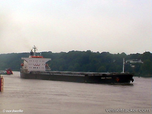
 SEA GEMINI
Current Status
Where is the vessel?
SEA GEMINI is currently in 92 nm SE of Cidade de Angra dos Reis FPSO, based on AIS data received about 2h ago.
Latest AIS update:
Current position: 26.25385° S, 41.32771° W (92 nm SE of Cidade de Angra dos Reis FPSO)
Average speed (last 7 days): Loading…
Average speed (last 30 days): Loading…
Vessel profile: SEA GEMINI is a Bulk Carrier with dimensions m x m.
This page combines live AIS, route history, probable destination signals, nearby traffic, and port activity for practical vessel monitoring.
The current position of vessel SEA GEMINI is -26.25385 lat / -41.32771 lng. Updated: 2026-04-10 03:23:14 UTCNearest reference points:
- 34 nm S of Cidade de Angra dos Reis FPSO
- 69 nm NE of Cidade de Angra dos Reis FPSO
- 49 nm S of SEPETIBA
Currently sailing under the flag of Singapore ![]()
Details:
Live Vessel SEA GEMINI Analytics (details, animations, etc.)
Recent AIS points (UTC):
2026-04-09 22:22:03 UTC · -26.12160, -42.17109 · SOG 9.3 kn · COG 104°2026-04-10 00:20:04 UTC · -26.16558, -41.83761 · SOG 9.1 kn · COG 107°
2026-04-10 02:03:55 UTC · -26.21654, -41.55363 · SOG 9.2 kn · COG 109°
2026-04-10 03:23:14 UTC · -26.25385, -41.32771 · SOG 9.3 kn · COG 98°