 vesseltracker.com
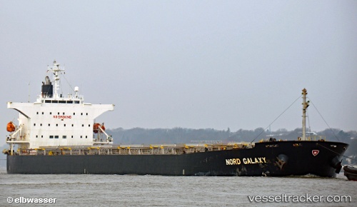
 BROAD BONNIE
Current Status
Where is the vessel?
BROAD BONNIE is currently in 228 nm W of LHOKNGA, based on AIS data received less than 1h ago.
Latest AIS update:
Current position: 5.93095° N, 91.46095° E (228 nm W of LHOKNGA)
Average speed (last 7 days): Loading…
Average speed (last 30 days): Loading…
Vessel profile: BROAD BONNIE is a Bulk Carrier with dimensions m x m.
This page combines live AIS, route history, probable destination signals, nearby traffic, and port activity for practical vessel monitoring.
The current position of vessel BROAD BONNIE is 5.93095 lat / 91.46095 lng. Updated: 2026-04-20 02:58:05 UTCNearest reference points:
- 172 nm W of LHOKNGA
- 160 nm W of Sebang
- 243 nm E of Abakaliki
Currently sailing under the flag of Panama ![]()
Details:
Live Vessel BROAD BONNIE Analytics (details, animations, etc.)
Recent AIS points (UTC):
2026-04-19 23:25:33 UTC · 5.91742, 90.80507 · SOG 11.5 kn · COG -1°2026-04-20 01:37:05 UTC · 5.92700, 91.21115 · SOG 11 kn · COG -1°
2026-04-20 02:02:09 UTC · 5.92765, 91.28825 · SOG 11 kn · COG -1°
2026-04-20 02:58:05 UTC · 5.93095, 91.46095 · SOG 11.1 kn · COG -1°