 vesseltracker.com
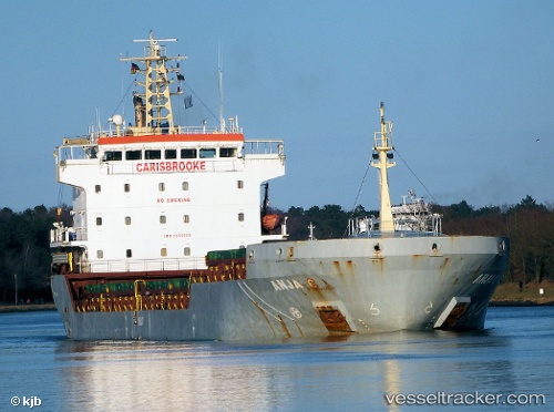
 MANISA CAMILLA
Current Status
Where is the vessel?
MANISA CAMILLA is currently in 20 nm N of CASTELSARDO, based on AIS data received less than 1h ago.
Latest AIS update:
Current position: 41.24872° N, 8.65201° E (20 nm N of CASTELSARDO)
Average speed (last 7 days): Loading…
Average speed (last 30 days): Loading…
Vessel profile: MANISA CAMILLA is a General Cargo Ship with dimensions 18m x 108m.
This page combines live AIS, route history, probable destination signals, nearby traffic, and port activity for practical vessel monitoring.
The current position of vessel MANISA CAMILLA is 41.24872 lat / 8.65201 lng. Updated: 2026-03-29 20:14:24 UTCNearest reference points:
- Near Valledoria
- Near Propriano
- Near Mezzavia
Currently sailing under the flag of Portugal (MAR) ![]()
MANISA CAMILLA built in 2006 year
Deadweight:
8099 tDetails:
Live Vessel MANISA CAMILLA Analytics (details, animations, etc.)
Recent AIS points (UTC):
2026-03-29 13:22:15 UTC · 41.01428, 9.82305 · SOG 9.9 kn · COG 336°2026-03-29 16:17:56 UTC · 41.38340, 9.44356 · SOG 11.1 kn · COG 270°
2026-03-29 18:22:18 UTC · 41.29805, 9.03285 · SOG 10.4 kn · COG 264°
2026-03-29 20:14:24 UTC · 41.24872, 8.65201 · SOG 9 kn · COG 261°