 vesseltracker.com
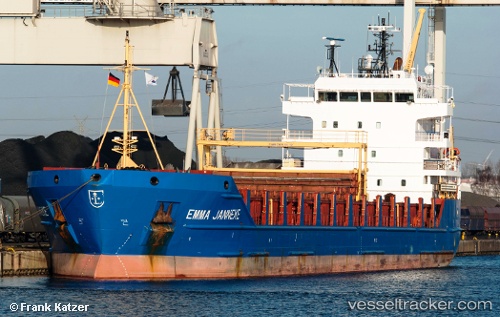
 BESTEKAR
Current Status
Where is the vessel?
BESTEKAR is currently in 21 nm SE of Fateh Terminal, based on AIS data received about 19h ago.
Latest AIS update:
Current position: 25.33869° N, 54.77210° E (21 nm SE of Fateh Terminal)
Average speed (last 7 days): Loading…
Average speed (last 30 days): Loading…
Vessel profile: BESTEKAR is a General Cargo with dimensions m x m.
This page combines live AIS, route history, probable destination signals, nearby traffic, and port activity for practical vessel monitoring.
The current position of vessel BESTEKAR is 25.33869 lat / 54.77210 lng. Updated: 2026-03-30 03:04:16 UTCNearest reference points:
- 16 nm NW of Jebel Ali
- 12 nm NW of Jebel Ali
- 17 nm NW of Free Port
Currently sailing under the flag of Barbados ![]()
Details:
Live Vessel BESTEKAR Analytics (details, animations, etc.)
Recent AIS points (UTC):
2026-03-29 18:31:15 UTC · 25.30390, 55.22048 · SOG 48 kn · COG -1°2026-03-30 03:04:16 UTC · 25.33869, 54.77210 · SOG 48.2 kn · COG -1°
2026-03-30 03:04:16 UTC · 25.33869, 54.77210 · SOG 48.2 kn · COG -1°
2026-03-30 03:04:16 UTC · 25.33869, 54.77210 · SOG 48.2 kn · COG -1°