 vesseltracker.com
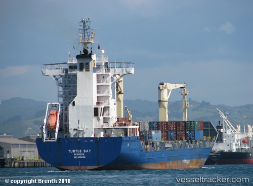
 SAFESEA RAMA
Current Status
Where is the vessel?
SAFESEA RAMA is currently in 29 nm NW of Santa Cantalina, based on AIS data received about 5h ago.
Latest AIS update:
Current position: 10.99642° N, 75.54643° W (29 nm NW of Santa Cantalina)
Average speed (last 7 days): Loading…
Average speed (last 30 days): Loading…
Vessel profile: SAFESEA RAMA is a General Cargo with dimensions m x m.
This page combines live AIS, route history, probable destination signals, nearby traffic, and port activity for practical vessel monitoring.
The current position of vessel SAFESEA RAMA is 10.99642 lat / -75.54643 lng. Updated: 2026-04-21 16:56:09 UTCNearest reference points:
- Near Sociedad Portuaria Regional Cartagena
- Near Contecar
- Near Santa Marta
Currently sailing under the flag of Panama ![]()
Details:
Live Vessel SAFESEA RAMA Analytics (details, animations, etc.)
Recent AIS points (UTC):
2026-04-21 16:56:09 UTC · 10.99642, -75.54643 · SOG 12.8 kn · COG 254°2026-04-21 16:56:09 UTC · 10.99642, -75.54643 · SOG 12.8 kn · COG 254°
2026-04-21 16:56:09 UTC · 10.99642, -75.54643 · SOG 12.8 kn · COG 254°
2026-04-21 16:56:09 UTC · 10.99642, -75.54643 · SOG 12.8 kn · COG 254°