 vesseltracker.com
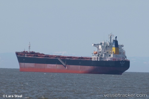
 De Ming Hai
Current Status
Where is the vessel?
De Ming Hai is currently in 226 nm S of Mitchem, based on AIS data received less than 1h ago.
Latest AIS update:
Current position: 47.97551° N, 173.64839° W (226 nm S of Mitchem)
Average speed (last 7 days): Loading…
Average speed (last 30 days): Loading…
Vessel profile: De Ming Hai is a Bulk Carrier with dimensions 225m x 32m.
This page combines live AIS, route history, probable destination signals, nearby traffic, and port activity for practical vessel monitoring.
The current position of vessel De Ming Hai is 47.97551 lat / -173.64839 lng. Updated: 2026-04-05 23:42:23 UTCCurrently sailing under the flag of China ![]()
De Ming Hai built in 2008 year
Deadweight:
76432 tDetails:
Live Vessel De Ming Hai Analytics (details, animations, etc.)
Recent AIS points (UTC):
2026-04-05 13:34:02 UTC · 47.77035, -176.81877 · SOG 12.9 kn · COG 88°2026-04-05 16:18:52 UTC · 47.81661, -175.95348 · SOG 12.7 kn · COG 85°
2026-04-05 20:23:41 UTC · 47.88877, -174.68530 · SOG 13.1 kn · COG 84°
2026-04-05 23:42:23 UTC · 47.97551, -173.64839 · SOG 12.7 kn · COG 74°