 vesseltracker.com
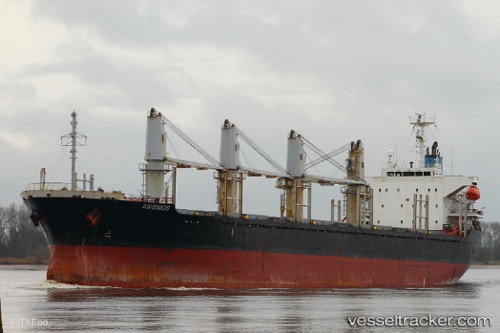
 LADY NANA
Current Status
Where is the vessel?
LADY NANA is currently in 17 nm W of Cape Agulhas, based on AIS data received less than 1h ago.
Latest AIS update:
Current position: 34.91072° S, 19.67688° E (17 nm W of Cape Agulhas)
Average speed (last 7 days): Loading…
Average speed (last 30 days): Loading…
Vessel profile: LADY NANA is a Bulk Carrier with dimensions m x m.
This page combines live AIS, route history, probable destination signals, nearby traffic, and port activity for practical vessel monitoring.
The current position of vessel LADY NANA is -34.91072 lat / 19.67688 lng. Updated: 2026-04-21 16:23:12 UTCNearest reference points:
- 15 nm SE of Moorreesburg
- Near Mitchells Plain
- Near Salt River
Currently sailing under the flag of Panama ![]()
Details:
Live Vessel LADY NANA Analytics (details, animations, etc.)
Recent AIS points (UTC):
2026-04-21 09:22:13 UTC · -34.76912, 20.57913 · SOG 7.1 kn · COG 252°2026-04-21 12:18:21 UTC · -34.86428, 20.19667 · SOG 6.1 kn · COG 254°
2026-04-21 15:33:31 UTC · -34.90353, 19.78875 · SOG 6.5 kn · COG 265°
2026-04-21 16:23:12 UTC · -34.91072, 19.67688 · SOG 6.4 kn · COG 267°