 vesseltracker.com
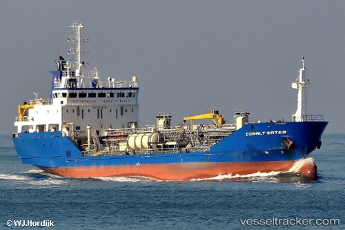
Cobaltwater
Current StatusWhere is the vessel?
Cobaltwater is currently in Near Immingham, based on AIS data received less than 1h ago.
Latest AIS update:
Current position: 53.63405° N, 0.19012° W (Near Immingham)
Average speed (last 7 days): Loading…
Average speed (last 30 days): Loading…
Vessel profile: Cobaltwater is a Chemical Oil Products Tanker with dimensions 16m x 100m.
This page combines live AIS, route history, probable destination signals, nearby traffic, and port activity for practical vessel monitoring.
The current position of vessel Cobaltwater is 53.63405 lat / -0.19012 lng. Updated: 2026-04-18 07:44:42 UTCNearest reference points:
- Near Immingham
- Near Grimsby
- Near Hull
Details:
Live Vessel Cobaltwater Analytics (details, animations, etc.)
Recent AIS points (UTC):
2026-04-18 01:20:39 UTC · 53.63408, -0.19005 · SOG 0 kn · COG 125°2026-04-18 03:29:43 UTC · 53.63409, -0.19006 · SOG 0 kn · COG 125°
2026-04-18 05:47:42 UTC · 53.63408, -0.19004 · SOG 0 kn · COG 125°
2026-04-18 07:44:42 UTC · 53.63405, -0.19012 · SOG 0 kn · COG 125°