 vesseltracker.com
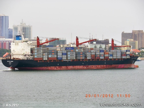
 CMA CGM MOMBASA
Current Status
Where is the vessel?
CMA CGM MOMBASA is currently in 76 nm W of Dehiwala, based on AIS data received less than 1h ago.
Latest AIS update:
Current position: 6.61348° N, 78.59398° E (76 nm W of Dehiwala)
Average speed (last 7 days): Loading…
Average speed (last 30 days): Loading…
Vessel profile: CMA CGM MOMBASA is a Container Ship with dimensions 213m x 29m.
This page combines live AIS, route history, probable destination signals, nearby traffic, and port activity for practical vessel monitoring.
The current position of vessel CMA CGM MOMBASA is 6.61348 lat / 78.59398 lng. Updated: 2026-04-17 08:56:14 UTCNearest reference points:
- 90 nm W of Moratuwa
- 94 nm W of Dehiwala
- 82 nm W of Moratuwa
Currently sailing under the flag of Malta ![]()
CMA CGM MOMBASA built in 2008 year
Deadweight:
34325 tDetails:
Live Vessel CMA CGM MOMBASA Analytics (details, animations, etc.)
Recent AIS points (UTC):
2026-04-17 04:25:44 UTC · 6.96420, 79.63847 · SOG 14.7 kn · COG 274°2026-04-17 06:08:51 UTC · 6.82805, 79.23502 · SOG 15 kn · COG 254°
2026-04-17 06:52:57 UTC · 6.77300, 79.06087 · SOG 14.6 kn · COG 252°
2026-04-17 08:56:14 UTC · 6.61348, 78.59398 · SOG 14.3 kn · COG 253°