 vesseltracker.com
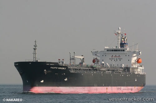
 PACIFIC HORIZON II
Current Status
Where is the vessel?
PACIFIC HORIZON II is currently in 35 nm W of Kinfraa-SEZ/Thiruvananthapuram, based on AIS data received about 2h ago.
Latest AIS update:
Current position: 8.37644° N, 76.33839° E (35 nm W of Kinfraa-SEZ/Thiruvananthapuram)
Average speed (last 7 days): Loading…
Average speed (last 30 days): Loading…
Vessel profile: PACIFIC HORIZON II is a Oil/Chemical Tanker with dimensions m x m.
This page combines live AIS, route history, probable destination signals, nearby traffic, and port activity for practical vessel monitoring.
The current position of vessel PACIFIC HORIZON II is 8.37644 lat / 76.33839 lng. Updated: 2026-04-05 23:23:27 UTCNearest reference points:
- 41 nm S of Nagercoil
- Near Edappally
- Near Cochin
Currently sailing under the flag of Japan ![]()
Details:
Live Vessel PACIFIC HORIZON II Analytics (details, animations, etc.)
Recent AIS points (UTC):
2026-04-05 18:03:37 UTC · 7.58401, 77.10836 · SOG 12 kn · COG 317°2026-04-05 19:55:47 UTC · 7.85482, 76.84072 · SOG 12.2 kn · COG 317°
2026-04-05 20:57:11 UTC · 8.00613, 76.69234 · SOG 12.4 kn · COG 319°
2026-04-05 23:23:27 UTC · 8.37644, 76.33839 · SOG 12.9 kn · COG 318°