 vesseltracker.com
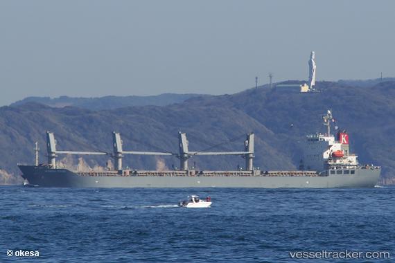
 HOANG ANH 11
Current Status
Where is the vessel?
HOANG ANH 11 is currently in 42 nm NE of Cap Malheureux, based on AIS data received about 1h ago.
Latest AIS update:
Current position: 19.45935° S, 58.09753° E (42 nm NE of Cap Malheureux)
Average speed (last 7 days): Loading…
Average speed (last 30 days): Loading…
Vessel profile: HOANG ANH 11 is a Cargo with dimensions m x m.
This page combines live AIS, route history, probable destination signals, nearby traffic, and port activity for practical vessel monitoring.
The current position of vessel HOANG ANH 11 is -19.45935 lat / 58.09753 lng. Updated: 2026-04-22 13:44:06 UTCNearest reference points:
- Near Port Louis
Currently sailing under the flag of Panama ![]()
Details:
Live Vessel HOANG ANH 11 Analytics (details, animations, etc.)
Recent AIS points (UTC):
2026-04-22 10:28:32 UTC · -19.62017, 57.73767 · SOG 7 kn · COG 70°2026-04-22 11:22:12 UTC · -19.57397, 57.84197 · SOG 7 kn · COG 66°
2026-04-22 13:18:14 UTC · -19.47338, 58.05075 · SOG 6.1 kn · COG 76°
2026-04-22 13:44:06 UTC · -19.45935, 58.09753 · SOG 6.3 kn · COG 74°