 vesseltracker.com
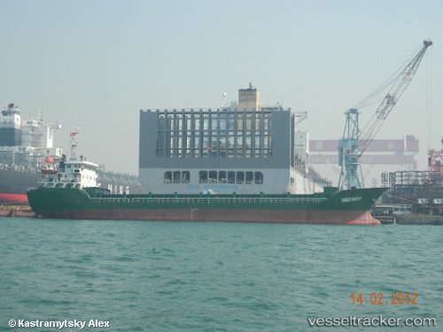
 KUN YUAN
Current Status
Where is the vessel?
KUN YUAN is currently in Near WAILINGDING ISLAND, based on AIS data received about 3h ago.
Latest AIS update:
Current position: 22.03699° N, 113.98791° E (Near WAILINGDING ISLAND)
Average speed (last 7 days): Loading…
Average speed (last 30 days): Loading…
Vessel profile: KUN YUAN is a General Cargo with dimensions m x m.
This page combines live AIS, route history, probable destination signals, nearby traffic, and port activity for practical vessel monitoring.
The current position of vessel KUN YUAN is 22.03699 lat / 113.98791 lng. Updated: 2026-03-26 19:57:00 UTCNearest reference points:
- Near WAILINGDING ISLAND
- Near Cheung Sha Wan
- 15 nm S of WAILINGDING ISLAND
Currently sailing under the flag of Sao Tome and Principe ![]()
Details:
Live Vessel KUN YUAN Analytics (details, animations, etc.)
Recent AIS points (UTC):
2026-03-26 14:07:00 UTC · 22.03615, 113.98812 · SOG 0.1 kn · COG 282°2026-03-26 15:39:00 UTC · 22.03593, 113.98781 · SOG 0.2 kn · COG 289°
2026-03-26 18:09:00 UTC · 22.03732, 113.98801 · SOG 0.2 kn · COG 252°
2026-03-26 19:57:00 UTC · 22.03699, 113.98791 · SOG 0.2 kn · COG 260°