 vesseltracker.com
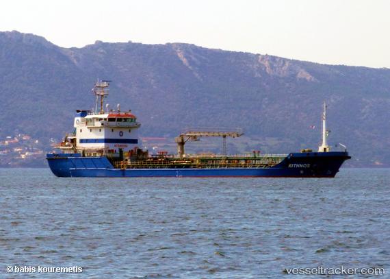
 ALAKAS I
Current Status
Where is the vessel?
ALAKAS I is currently in Near Lome, based on AIS data received about 2h ago.
Latest AIS update:
Current position: 6.08167° N, 1.25333° E (Near Lome)
Average speed (last 7 days): Loading…
Average speed (last 30 days): Loading…
Vessel profile: ALAKAS I is a Oil Products Tanker with dimensions m x m.
This page combines live AIS, route history, probable destination signals, nearby traffic, and port activity for practical vessel monitoring.
The current position of vessel ALAKAS I is 6.08167 lat / 1.25333 lng. Updated: 2026-03-29 01:22:25 UTCNearest reference points:
- Near Ablogamé
- Near Cotonou
- Near Kirikiri
Currently sailing under the flag of Bahamas ![]()
Details:
Live Vessel ALAKAS I Analytics (details, animations, etc.)
Recent AIS points (UTC):
2026-03-28 19:36:39 UTC · 6.08416, 1.25680 · SOG 0.4 kn · COG 203°2026-03-28 21:37:24 UTC · 6.08333, 1.25667 · SOG 0 kn · COG -1°
2026-03-29 00:18:40 UTC · 6.08173, 1.25448 · SOG 0.4 kn · COG 69°
2026-03-29 01:22:25 UTC · 6.08167, 1.25333 · SOG 0 kn · COG -1°