 vesseltracker.com
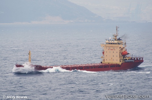
 MERATUS PEMATANGSIANTAR
Current Status
Where is the vessel?
MERATUS PEMATANGSIANTAR is currently in Near KUPANG, based on AIS data received about 1h ago.
Latest AIS update:
Current position: 10.17683° S, 123.51164° E (Near KUPANG)
Average speed (last 7 days): Loading…
Average speed (last 30 days): Loading…
Vessel profile: MERATUS PEMATANGSIANTAR is a General Cargo Ship with dimensions 20m x 117m.
This page combines live AIS, route history, probable destination signals, nearby traffic, and port activity for practical vessel monitoring.
The current position of vessel MERATUS PEMATANGSIANTAR is -10.17683 lat / 123.51164 lng. Updated: 2026-04-06 11:15:08 UTCNearest reference points:
- 65 nm E of Front Puffin FPSO
- 15 nm NE of Atauro
Currently sailing under the flag of Indonesia ![]()
MERATUS PEMATANGSIANTAR built in 2007 year
Deadweight:
8023 tDetails:
Live Vessel MERATUS PEMATANGSIANTAR Analytics (details, animations, etc.)
Recent AIS points (UTC):
2026-04-06 06:03:29 UTC · -10.17692, 123.51244 · SOG 0 kn · COG 349°2026-04-06 08:15:05 UTC · -10.17687, 123.51187 · SOG 0.2 kn · COG 31°
2026-04-06 10:12:20 UTC · -10.17666, 123.51167 · SOG 0 kn · COG -1°
2026-04-06 11:15:08 UTC · -10.17683, 123.51164 · SOG 0 kn · COG 34°