 vesseltracker.com
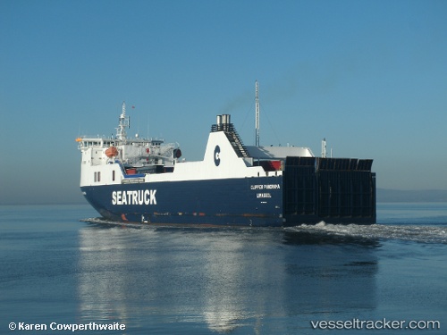
 SANTA RITA
Current Status
Where is the vessel?
SANTA RITA is currently in 17 nm E of La Paz, based on AIS data received about 2h ago.
Latest AIS update:
Current position: 24.21351° N, 110.01001° W (17 nm E of La Paz)
Average speed (last 7 days): Loading…
Average speed (last 30 days): Loading…
Vessel profile: SANTA RITA is a Ro-Ro Cargo with dimensions m x m.
This page combines live AIS, route history, probable destination signals, nearby traffic, and port activity for practical vessel monitoring.
The current position of vessel SANTA RITA is 24.21351 lat / -110.01001 lng. Updated: 2026-04-07 03:36:34 UTCNearest reference points:
- Near LA PAZ
- Near LA PLAYA
- Near San Jose del Cabo
Currently sailing under the flag of Mexico ![]()
Details:
Live Vessel SANTA RITA Analytics (details, animations, etc.)
Recent AIS points (UTC):
2026-04-06 22:29:06 UTC · 24.27530, -110.33042 · SOG 0 kn · COG 90°2026-04-06 23:41:15 UTC · 24.27532, -110.33043 · SOG 0 kn · COG 89°
2026-04-07 01:07:11 UTC · 24.27528, -110.33043 · SOG 0 kn · COG 89°
2026-04-07 03:36:34 UTC · 24.21351, -110.01001 · SOG 16.4 kn · COG 129°