 vesseltracker.com
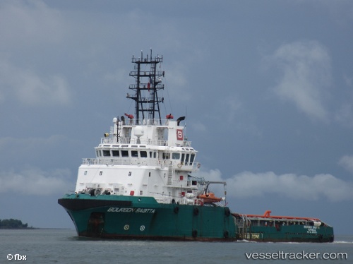
 Luanda 1
Current Status
Where is the vessel?
Luanda 1 is currently in Near Luanda, based on AIS data received less than 1h ago.
Latest AIS update:
Current position: 8.75215° S, 13.29921° E (Near Luanda)
Average speed (last 7 days): Loading…
Average speed (last 30 days): Loading…
Vessel profile: Luanda 1 is a Offshore Tug Supply Ship with dimensions 65m x 65m.
This page combines live AIS, route history, probable destination signals, nearby traffic, and port activity for practical vessel monitoring.
The current position of vessel Luanda 1 is -8.75215 lat / 13.29921 lng. Updated: 2026-03-30 23:54:23 UTCNearest reference points:
- Near Luanda
- Near Greater Plutonio
Currently sailing under the flag of Panama ![]()
Luanda 1 built in 2006 year
Deadweight:
1622 tDetails:
Live Vessel Luanda 1 Analytics (details, animations, etc.)
Recent AIS points (UTC):
2026-03-30 18:03:22 UTC · -8.75217, 13.29959 · SOG 0 kn · COG -1°2026-03-30 20:02:31 UTC · -8.75225, 13.29964 · SOG 0 kn · COG -1°
2026-03-30 22:00:33 UTC · -8.75235, 13.29960 · SOG 0 kn · COG -1°
2026-03-30 23:54:23 UTC · -8.75215, 13.29921 · SOG 0 kn · COG -1°