 vesseltracker.com
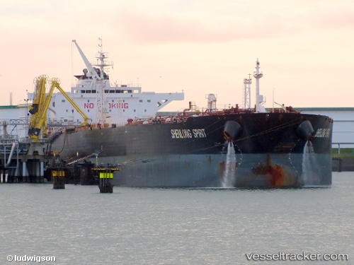
 SHENLONG
Current Status
Where is the vessel?
SHENLONG is currently in 175 nm E of SUR, based on AIS data received less than 1h ago.
Latest AIS update:
Current position: 21.75147° N, 62.55585° E (175 nm E of SUR)
Average speed (last 7 days): Loading…
Average speed (last 30 days): Loading…
Vessel profile: SHENLONG is a Crude Oil Tanker with dimensions m x m.
This page combines live AIS, route history, probable destination signals, nearby traffic, and port activity for practical vessel monitoring.
The current position of vessel SHENLONG is 21.75147 lat / 62.55585 lng. Updated: 2026-04-10 03:33:31 UTCNearest reference points:
- 224 nm E of SUR
- 171 nm E of SUR
- 120 nm E of SUR
Currently sailing under the flag of Liberia ![]()
Details:
Live Vessel SHENLONG Analytics (details, animations, etc.)
Recent AIS points (UTC):
2026-04-10 01:50:30 UTC · 21.95300, 62.19646 · SOG 13.3 kn · COG 119°2026-04-10 01:50:30 UTC · 21.95300, 62.19646 · SOG 13.3 kn · COG 119°
2026-04-10 03:33:31 UTC · 21.75147, 62.55585 · SOG 13.6 kn · COG 120°
2026-04-10 03:33:31 UTC · 21.75147, 62.55585 · SOG 13.6 kn · COG 120°