 vesseltracker.com
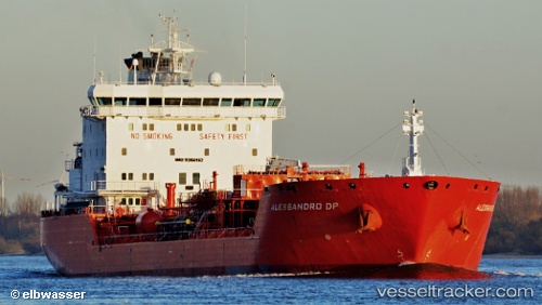
 CHEM NANA
Current Status
Where is the vessel?
CHEM NANA is currently in Near DORTYOL, based on AIS data received about 2h ago.
Latest AIS update:
Current position: 36.82515° N, 36.15750° E (Near DORTYOL)
Average speed (last 7 days): Loading…
Average speed (last 30 days): Loading…
Vessel profile: CHEM NANA is a Oil/Chemical Tanker with dimensions m x m.
This page combines live AIS, route history, probable destination signals, nearby traffic, and port activity for practical vessel monitoring.
The current position of vessel CHEM NANA is 36.82515 lat / 36.15750 lng. Updated: 2026-04-19 19:04:58 UTCNearest reference points:
- Near DORTYOL
- Near CEYHAN
- Near Iskenderun
Currently sailing under the flag of Turkey ![]()
Details:
Live Vessel CHEM NANA Analytics (details, animations, etc.)
Recent AIS points (UTC):
2026-04-19 16:01:57 UTC · 36.82512, 36.15747 · SOG 0 kn · COG 234°2026-04-19 16:04:57 UTC · 36.82516, 36.15742 · SOG 0 kn · COG 235°
2026-04-19 17:34:57 UTC · 36.82517, 36.15738 · SOG 0 kn · COG 235°
2026-04-19 19:04:58 UTC · 36.82515, 36.15750 · SOG 0 kn · COG 233°