 vesseltracker.com
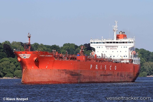
ALMOND
Current StatusWhere is the vessel?
ALMOND is currently in 20 nm N of Port Said, based on AIS data received about 1h ago.
Latest AIS update:
Current position: 31.59314° N, 32.32179° E (20 nm N of Port Said)
Average speed (last 7 days): Loading…
Average speed (last 30 days): Loading…
Vessel profile: ALMOND is a Chemical Oil Products Tanker with dimensions 182m x 32m.
This page combines live AIS, route history, probable destination signals, nearby traffic, and port activity for practical vessel monitoring.
The current position of vessel ALMOND is 31.59314 lat / 32.32179 lng. Updated: 2026-04-07 01:46:40 UTCNearest reference points:
- 16 nm N of Port Said
- 15 nm N of Port Said
- 14 nm N of Port Said
Details:
Live Vessel ALMOND Analytics (details, animations, etc.)
Recent AIS points (UTC):
2026-04-06 20:17:03 UTC · 31.61556, 32.34974 · SOG 3.9 kn · COG -1°2026-04-06 22:01:37 UTC · 31.59234, 32.32222 · SOG 0.1 kn · COG 30°
2026-04-07 00:10:38 UTC · 31.59259, 32.32189 · SOG 0.1 kn · COG 48°
2026-04-07 01:46:40 UTC · 31.59314, 32.32179 · SOG 0.1 kn · COG 70°