 vesseltracker.com
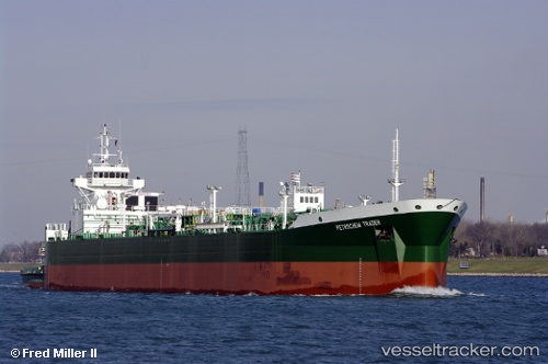
 Brownsville
Current Status
Where is the vessel?
Brownsville is currently in 170 nm SE of Gulfmex Lightering Area, based on AIS data received about 2h ago.
Latest AIS update:
Current position: 26.16333° N, 88.19833° W (170 nm SE of Gulfmex Lightering Area)
Average speed (last 7 days): Loading…
Average speed (last 30 days): Loading…
Vessel profile: Brownsville is a Pusher Tug with dimensions 184m x 184m.
This page combines live AIS, route history, probable destination signals, nearby traffic, and port activity for practical vessel monitoring.
The current position of vessel Brownsville is 26.16333 lat / -88.19833 lng. Updated: 2026-03-27 03:31:16 UTCCurrently sailing under the flag of USA ![]()
Brownsville built in 2008 year
Deadweight:
1445 tDetails:
Live Vessel Brownsville Analytics (details, animations, etc.)
Recent AIS points (UTC):
2026-03-26 23:34:30 UTC · 25.86741, -87.43879 · SOG 11.6 kn · COG 291°2026-03-27 02:04:14 UTC · 26.05500, -87.91833 · SOG 11 kn · COG -1°
2026-03-27 03:31:16 UTC · 26.16333, -88.19833 · SOG 11 kn · COG -1°
2026-03-27 03:31:16 UTC · 26.16333, -88.19833 · SOG 11 kn · COG -1°