 vesseltracker.com
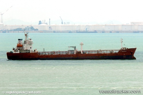
Maximus
Current StatusWhere is the vessel?
Maximus is currently in Near Djibouti, based on AIS data received less than 1h ago.
Latest AIS update:
Current position: 11.66804° N, 43.11729° E (Near Djibouti)
Average speed (last 7 days): Loading…
Average speed (last 30 days): Loading…
Vessel profile: Maximus is a Oil Products Tanker with dimensions 18m x 118m.
This page combines live AIS, route history, probable destination signals, nearby traffic, and port activity for practical vessel monitoring.
The current position of vessel Maximus is 11.66804 lat / 43.11729 lng. Updated: 2026-04-17 07:47:39 UTCNearest reference points:
- Near Djibouti
Details:
Live Vessel Maximus Analytics (details, animations, etc.)
Recent AIS points (UTC):
2026-04-17 01:41:26 UTC · 11.66813, 43.11727 · SOG 0 kn · COG 80°2026-04-17 04:03:32 UTC · 11.66821, 43.11720 · SOG 0.1 kn · COG 86°
2026-04-17 06:21:22 UTC · 11.66814, 43.11725 · SOG 0 kn · COG 88°
2026-04-17 07:47:39 UTC · 11.66804, 43.11729 · SOG 0 kn · COG 83°