 vesseltracker.com
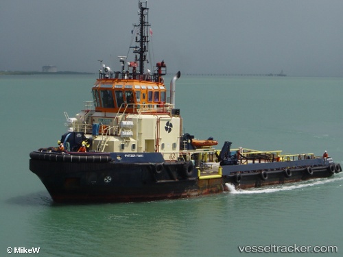
 Fort
Fort
Current Status
Where is the vessel?
Fort is currently in Near Marina di Ravenna, based on AIS data received about 1h ago.
Latest AIS update:
Current position: 44.48938° N, 12.45518° E (Near Marina di Ravenna)
Average speed (last 7 days): Loading…
Average speed (last 30 days): Loading…
Vessel profile: Fort is a [tug.fire_fighting_tug] with dimensions 46m x 13m.
This page combines live AIS, route history, probable destination signals, nearby traffic, and port activity for practical vessel monitoring.
The current position of vessel Fort is 44.48938 lat / 12.45518 lng. Updated: 2026-04-18 04:20:50 UTCNearest reference points:
- Near Marina di Ravenna
- Near Porto San Vitale
- Near San Giuseppe
Currently sailing under the flag of Portugal ![]()
Details:
Live Vessel Fort Analytics (details, animations, etc.)
Recent AIS points (UTC):
2026-04-17 21:46:50 UTC · 44.69492, 12.66113 · SOG 3.3 kn · COG 187°2026-04-18 00:03:10 UTC · 44.57054, 12.64379 · SOG 3.2 kn · COG 185°
2026-04-18 02:33:11 UTC · 44.47020, 12.57310 · SOG 3.2 kn · COG 274°
2026-04-18 04:20:50 UTC · 44.48938, 12.45518 · SOG 2 kn · COG 293°