 vesseltracker.com
 MARINSTRAUM
Current Status
Where is the vessel?
MARINSTRAUM is currently in Near Murmansk, based on AIS data received about 1d ago.
Latest AIS update:
Current position: 68.94503° N, 33.02904° E (Near Murmansk)
Average speed (last 7 days): Loading…
Average speed (last 30 days): Loading…
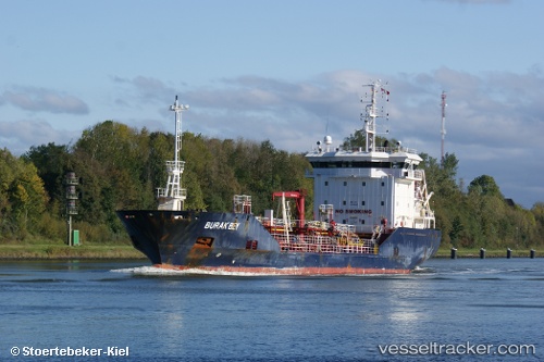
Vessel profile: MARINSTRAUM is a Chemical Tanker with dimensions m x m.
This page combines live AIS, route history, probable destination signals, nearby traffic, and port activity for practical vessel monitoring.
The current position of vessel MARINSTRAUM is 68.94503 lat / 33.02904 lng. Updated: 2026-04-10 07:04:28 UTCNearest reference points:
- Near Murmansk
- Near Ura-Guba
- Near Polyarnyy
Currently sailing under the flag of Russia ![]()
Details:
Live Vessel MARINSTRAUM Analytics (details, animations, etc.)
Recent AIS points (UTC):
2026-04-07 17:37:51 UTC · 69.05607, 32.81074 · SOG 7.6 kn · COG -1°2026-04-07 17:37:51 UTC · 69.05607, 32.81074 · SOG 7.6 kn · COG -1°
2026-04-10 05:26:26 UTC · 68.94502, 33.02895 · SOG 0 kn · COG 184°
2026-04-10 07:04:28 UTC · 68.94503, 33.02904 · SOG 0.3 kn · COG 184°