 vesseltracker.com
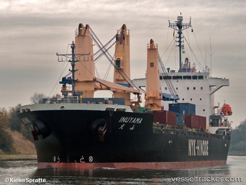
 Inuyama
Current Status
Where is the vessel?
Inuyama is currently in 33 nm SE of Gombong, based on AIS data received about 1h ago.
Latest AIS update:
Current position: 6.97647° N, 108.62587° E (33 nm SE of Gombong)
Average speed (last 7 days): Loading…
Average speed (last 30 days): Loading…
Vessel profile: Inuyama is a General Cargo Ship with dimensions 149m x 149m.
This page combines live AIS, route history, probable destination signals, nearby traffic, and port activity for practical vessel monitoring.
The current position of vessel Inuyama is 6.97647 lat / 108.62587 lng. Updated: 2026-03-29 23:58:55 UTCNearest reference points:
- 41 nm NW of Brebes
- 11 nm N of Gombong
- 30 nm SW of Dai Hung (Tandem Load)
Currently sailing under the flag of Panama ![]()
Inuyama built in 2009 year
Deadweight:
19922 tDetails:
Live Vessel Inuyama Analytics (details, animations, etc.)
Recent AIS points (UTC):
2026-03-29 16:34:30 UTC · 5.93671, 107.66113 · SOG 11.1 kn · COG 45°2026-03-29 20:21:38 UTC · 6.46103, 108.15247 · SOG 11.4 kn · COG 44°
2026-03-29 21:56:39 UTC · 6.68096, 108.36487 · SOG 11.6 kn · COG 47°
2026-03-29 23:58:55 UTC · 6.97647, 108.62587 · SOG 11.8 kn · COG -1°