 vesseltracker.com
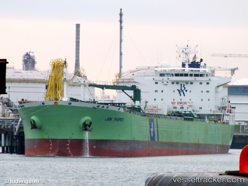
 BAM BAM
Current Status
Where is the vessel?
BAM BAM is currently in 10 nm W of Ras Budran, based on AIS data received less than 1h ago.
Latest AIS update:
Current position: 28.88719° N, 32.92482° E (10 nm W of Ras Budran)
Average speed (last 7 days): Loading…
Average speed (last 30 days): Loading…
Vessel profile: BAM BAM is a Oil Products Tanker with dimensions m x m.
This page combines live AIS, route history, probable destination signals, nearby traffic, and port activity for practical vessel monitoring.
The current position of vessel BAM BAM is 28.88719 lat / 32.92482 lng. Updated: 2026-03-30 06:21:15 UTCNearest reference points:
- Near Ras Gharib
- Near Ras Sudr
- Near Al Adabiyah
Currently sailing under the flag of Liberia ![]()
Details:
Live Vessel BAM BAM Analytics (details, animations, etc.)
Recent AIS points (UTC):
2026-03-29 23:40:39 UTC · 27.86471, 33.72744 · SOG 10.3 kn · COG -1°2026-03-30 01:45:51 UTC · 28.12383, 33.41998 · SOG 11.1 kn · COG -1°
2026-03-30 03:37:00 UTC · 28.41076, 33.19007 · SOG 11.6 kn · COG -1°
2026-03-30 06:21:15 UTC · 28.88719, 32.92482 · SOG 11.1 kn · COG -1°