 vesseltracker.com
 ETNA
ETNA
Current Status
Where is the vessel?
ETNA is currently in 15 nm NE of BODRUM, based on AIS data received less than 1h ago.
Latest AIS update:
Current position: 37.25115° N, 27.58083° E (15 nm NE of BODRUM)
Average speed (last 7 days): Loading…
Average speed (last 30 days): Loading…
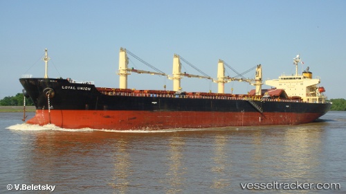
Vessel profile: ETNA is a Bulk Carrier with dimensions m x m.
This page combines live AIS, route history, probable destination signals, nearby traffic, and port activity for practical vessel monitoring.
The current position of vessel ETNA is 37.25115 lat / 27.58083 lng. Updated: 2026-04-19 13:35:27 UTCNearest reference points:
- Near BODRUM
- Near DIDIM
- Near TURGUTREIS
Currently sailing under the flag of Turkey ![]()
Details:
Live Vessel ETNA Analytics (details, animations, etc.)
Recent AIS points (UTC):
2026-04-19 09:46:14 UTC · 37.25207, 27.57929 · SOG 0 kn · COG -1°2026-04-19 10:20:29 UTC · 37.25112, 27.58129 · SOG 0.3 kn · COG 12°
2026-04-19 11:23:28 UTC · 37.25120, 27.58097 · SOG 0.4 kn · COG 24°
2026-04-19 13:35:27 UTC · 37.25115, 27.58083 · SOG 0.1 kn · COG 26°