 vesseltracker.com
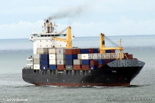
Fouma
Current StatusWhere is the vessel?
Fouma is currently in 64 nm W of CUL DESAC, based on AIS data received about 1d ago.
Latest AIS update:
Current position: 13.92894° N, 62.10677° W (64 nm W of CUL DESAC)
Average speed (last 7 days): Loading…
Average speed (last 30 days): Loading…
Vessel profile: Fouma is a Container Ship with dimensions 25m x 166m.
This page combines live AIS, route history, probable destination signals, nearby traffic, and port activity for practical vessel monitoring.
The current position of vessel Fouma is 13.92894 lat / -62.10677 lng. Updated: 2026-04-10 08:18:06 UTCNearest reference points:
- Near Gros Islet
- Near Kingstown
- Near Fort De France
Details:
Live Vessel Fouma Analytics (details, animations, etc.)
Recent AIS points (UTC):
2026-04-10 01:26:48 UTC · 13.15360, -61.22951 · SOG 0 kn · COG 298°2026-04-10 03:49:56 UTC · 13.17955, -61.30443 · SOG 14.5 kn · COG 314°
2026-04-10 05:39:35 UTC · 13.48479, -61.62591 · SOG 14.3 kn · COG 312°
2026-04-10 08:18:06 UTC · 13.92894, -62.10677 · SOG 15.2 kn · COG 310°