 vesseltracker.com
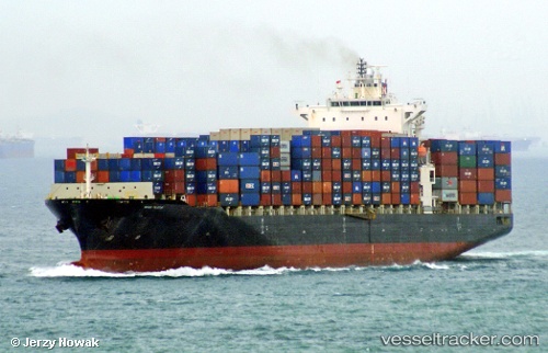
Navios Felicitas
Current StatusWhere is the vessel?
Navios Felicitas is currently in Near Miami River, based on AIS data received about 1h ago.
Latest AIS update:
Current position: 25.76627° N, 80.15870° W (Near Miami River)
Average speed (last 7 days): Loading…
Average speed (last 30 days): Loading…
Vessel profile: Navios Felicitas is a Container Ship with dimensions 32m x 259m.
This page combines live AIS, route history, probable destination signals, nearby traffic, and port activity for practical vessel monitoring.
The current position of vessel Navios Felicitas is 25.76627 lat / -80.15870 lng. Updated: 2026-04-03 21:26:23 UTCNearest reference points:
- Near Miami Beach
- Near Fisher Island, Miami
- Near Miami
Details:
Live Vessel Navios Felicitas Analytics (details, animations, etc.)
Recent AIS points (UTC):
2026-04-03 15:56:38 UTC · 25.76628, -80.15870 · SOG 0 kn · COG 93°2026-04-03 17:51:17 UTC · 25.76500, -80.15833 · SOG 0 kn · COG -1°
2026-04-03 19:56:23 UTC · 25.76629, -80.15870 · SOG 0 kn · COG 92°
2026-04-03 21:26:23 UTC · 25.76627, -80.15870 · SOG 0 kn · COG 92°