 vesseltracker.com
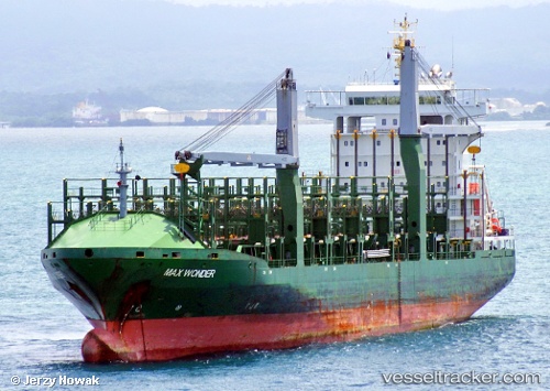
 CMA CGM EAST
Current Status
Where is the vessel?
CMA CGM EAST is currently in 13 nm NE of Scauri Alto, based on AIS data received about 1h ago.
Latest AIS update:
Current position: 36.91813° N, 12.16116° E (13 nm NE of Scauri Alto)
Average speed (last 7 days): Loading…
Average speed (last 30 days): Loading…
Vessel profile: CMA CGM EAST is a Container Ship with dimensions m x m.
This page combines live AIS, route history, probable destination signals, nearby traffic, and port activity for practical vessel monitoring.
The current position of vessel CMA CGM EAST is 36.91813 lat / 12.16116 lng. Updated: 2026-04-13 11:48:44 UTCNearest reference points:
- Near MARSALA
- 13 nm N of Qulaybiyah
- Near Trapani
Currently sailing under the flag of Bahamas ![]()
Details:
Live Vessel CMA CGM EAST Analytics (details, animations, etc.)
Recent AIS points (UTC):
2026-04-13 05:20:03 UTC · 37.41000, 11.00167 · SOG 9 kn · COG -1°2026-04-13 08:19:35 UTC · 37.19890, 11.54620 · SOG 9.7 kn · COG 115°
2026-04-13 09:55:04 UTC · 37.07267, 11.83112 · SOG 9.8 kn · COG 120°
2026-04-13 11:48:44 UTC · 36.91813, 12.16116 · SOG 9.8 kn · COG 111°