 vesseltracker.com
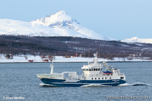
 Kamilla G
Current Status
Where is the vessel?
Kamilla G is currently in Near Larsnes, based on AIS data received about 1h ago.
Latest AIS update:
Current position: 62.20370° N, 5.57156° E (Near Larsnes)
Average speed (last 7 days): Loading…
Average speed (last 30 days): Loading…
Vessel profile: Kamilla G is a Fishing Vessel with dimensions 37m x 8m.
This page combines live AIS, route history, probable destination signals, nearby traffic, and port activity for practical vessel monitoring.
The current position of vessel Kamilla G is 62.20370 lat / 5.57156 lng. Updated: 2026-04-03 11:43:47 UTCNearest reference points:
- Near Larsnes
- Near Gursken
- Near RAUDEBERG
Currently sailing under the flag of Norway ![]()
Kamilla G built in 2006 year
Details:
Live Vessel Kamilla G Analytics (details, animations, etc.)
Recent AIS points (UTC):
2026-04-03 05:42:33 UTC · 62.20386, 5.57174 · SOG 0 kn · COG 121°2026-04-03 07:59:23 UTC · 62.20383, 5.57175 · SOG 0 kn · COG 122°
2026-04-03 09:45:48 UTC · 62.20386, 5.57175 · SOG 0 kn · COG 122°
2026-04-03 11:43:47 UTC · 62.20370, 5.57156 · SOG 0 kn · COG 122°