 vesseltracker.com
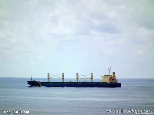
 ANNI SELMER
Current Status
Where is the vessel?
ANNI SELMER is currently in 32 nm N of Hatoma, based on AIS data received about 1h ago.
Latest AIS update:
Current position: 24.96500° N, 123.98833° E (32 nm N of Hatoma)
Average speed (last 7 days): Loading…
Average speed (last 30 days): Loading…
Vessel profile: ANNI SELMER is a Bulk Carrier with dimensions 189m x 31m.
This page combines live AIS, route history, probable destination signals, nearby traffic, and port activity for practical vessel monitoring.
The current position of vessel ANNI SELMER is 24.96500 lat / 123.98833 lng. Updated: 2026-04-03 04:03:13 UTCNearest reference points:
- 55 nm E of Nangang
- 76 nm NE of Nangang
- 120 nm NE of Nangang
Currently sailing under the flag of Marshall Islands ![]()
ANNI SELMER built in 2009 year
Deadweight:
55639 tDetails:
Live Vessel ANNI SELMER Analytics (details, animations, etc.)
Recent AIS points (UTC):
2026-04-02 21:15:11 UTC · 23.90500, 122.93667 · SOG 12 kn · COG -1°2026-04-02 23:30:10 UTC · 24.25167, 123.27833 · SOG 12 kn · COG -1°
2026-04-03 02:06:11 UTC · 24.67833, 123.66833 · SOG 13 kn · COG -1°
2026-04-03 04:03:13 UTC · 24.96500, 123.98833 · SOG 12 kn · COG -1°