 vesseltracker.com
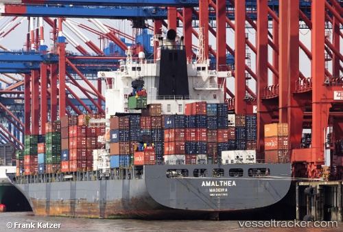
 Amalthea
Current Status
Where is the vessel?
Amalthea is currently in 40 nm E of Al Qusayr, based on AIS data received about 2h ago.
Latest AIS update:
Current position: 26.13400° N, 35.02083° E (40 nm E of Al Qusayr)
Average speed (last 7 days): Loading…
Average speed (last 30 days): Loading…
Vessel profile: Amalthea is a Container Ship with dimensions 269m x 32m.
This page combines live AIS, route history, probable destination signals, nearby traffic, and port activity for practical vessel monitoring.
The current position of vessel Amalthea is 26.13400 lat / 35.02083 lng. Updated: 2026-04-02 19:19:21 UTCNearest reference points:
- Near Bur Safaga
- Near DUBA
- 15 nm SW of Al Khuraibah
Currently sailing under the flag of Portugal ![]()
Amalthea built in 2009 year
Deadweight:
52788 tDetails:
Live Vessel Amalthea Analytics (details, animations, etc.)
Recent AIS points (UTC):
2026-04-02 13:32:51 UTC · 27.24033, 34.45250 · SOG 12.4 kn · COG 170°2026-04-02 15:39:42 UTC · 26.82269, 34.63322 · SOG 13.1 kn · COG 150°
2026-04-02 17:29:22 UTC · 26.48164, 34.83882 · SOG 12.5 kn · COG 153°
2026-04-02 19:19:21 UTC · 26.13400, 35.02083 · SOG 13.1 kn · COG 152°