 vesseltracker.com
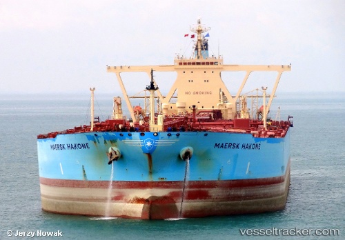
 SHIRAYUKI
Current Status
Where is the vessel?
SHIRAYUKI is currently in 164 nm SE of SUR, based on AIS data received less than 1h ago.
Latest AIS update:
Current position: 21.23414° N, 62.09261° E (164 nm SE of SUR)
Average speed (last 7 days): Loading…
Average speed (last 30 days): Loading…
Vessel profile: SHIRAYUKI is a Crude Oil Tanker with dimensions m x m.
This page combines live AIS, route history, probable destination signals, nearby traffic, and port activity for practical vessel monitoring.
The current position of vessel SHIRAYUKI is 21.23414 lat / 62.09261 lng. Updated: 2026-04-22 11:00:19 UTCNearest reference points:
- 120 nm E of SUR
- 90 nm SE of SUR
- 224 nm E of SUR
Currently sailing under the flag of Liberia ![]()
Details:
Live Vessel SHIRAYUKI Analytics (details, animations, etc.)
Recent AIS points (UTC):
2026-04-22 07:51:07 UTC · 21.76065, 61.49415 · SOG 14.4 kn · COG 137°2026-04-22 08:02:26 UTC · 21.72756, 61.52739 · SOG 14.4 kn · COG 137°
2026-04-22 09:47:55 UTC · 21.42737, 61.85486 · SOG 14.7 kn · COG 131°
2026-04-22 11:00:19 UTC · 21.23414, 62.09261 · SOG 14.7 kn · COG 132°