 vesseltracker.com
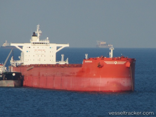
 PREMIERSHIP
Current Status
Where is the vessel?
PREMIERSHIP is currently in 28 nm E of EDEN, based on AIS data received about 1h ago.
Latest AIS update:
Current position: 37.10833° S, 150.49667° E (28 nm E of EDEN)
Average speed (last 7 days): Loading…
Average speed (last 30 days): Loading…
Vessel profile: PREMIERSHIP is a Bulk Carrier with dimensions m x m.
This page combines live AIS, route history, probable destination signals, nearby traffic, and port activity for practical vessel monitoring.
The current position of vessel PREMIERSHIP is -37.10833 lat / 150.49667 lng. Updated: 2026-04-14 06:02:15 UTCNearest reference points:
- Near Jervis Bay
- 49 nm SE of Gerringong
- 26 nm SE of Lakes Entrance
Currently sailing under the flag of Marshall Islands ![]()
Details:
Live Vessel PREMIERSHIP Analytics (details, animations, etc.)
Recent AIS points (UTC):
2026-04-13 23:38:55 UTC · -36.09174, 151.06538 · SOG 9.9 kn · COG 203°2026-04-14 01:22:41 UTC · -36.37509, 150.92780 · SOG 11 kn · COG 216°
2026-04-14 04:18:33 UTC · -36.84480, 150.64932 · SOG 10.3 kn · COG 196°
2026-04-14 06:02:15 UTC · -37.10833, 150.49667 · SOG 10 kn · COG -1°